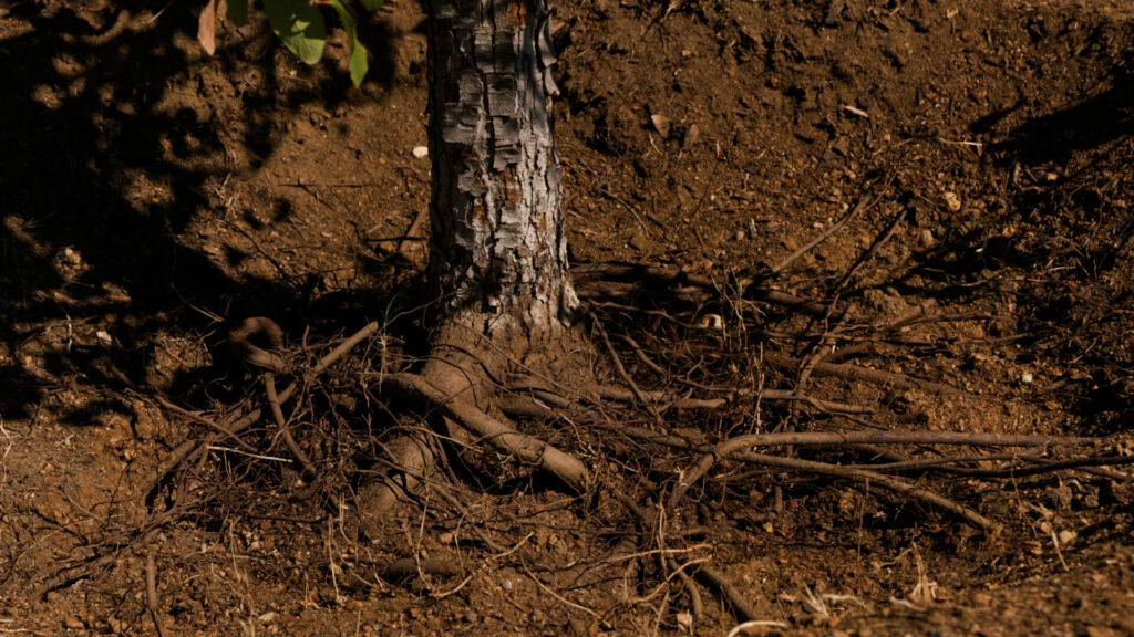
Root Dysfunction in Central Texas Trees: How to Diagnose, Fix, and Restore Tree Health
Home / Root Dysfunction in Central Texas Trees Girdling roots encircling the trunk can restrict…
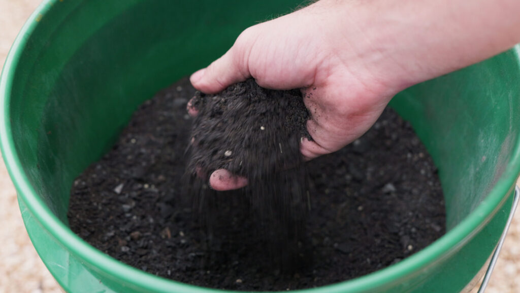
What is Biochar and Does It Actually Work?
Home / What Is Biochar? Science, History, Pros and Cons, and Its Role in Texas…
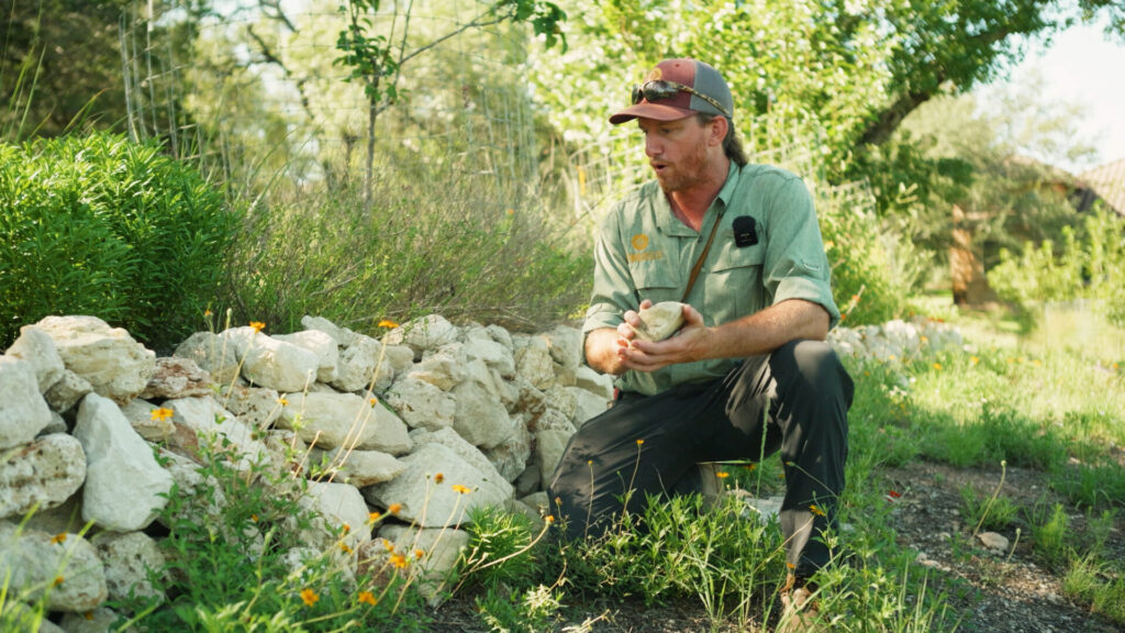
Limestone Terraces in Central Texas for Erosion Control and Soil Building
Home / Limestone Terraces in Central Texas: Erosion Control, Soil Building, and Hill Country Restoration…
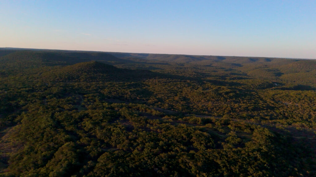
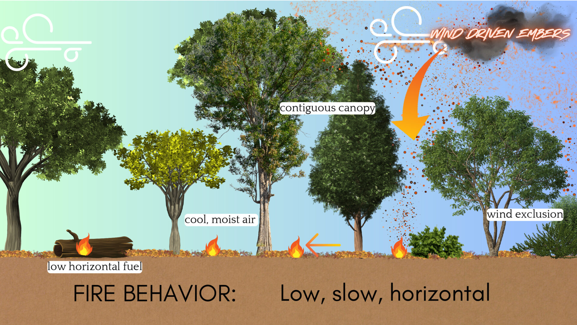
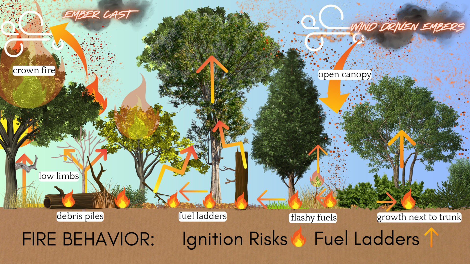
Applying Wildfire Science to Land Stewardship in Central Texas
Home / Applying Wildfire Science to Land Stewardship in Central Texas Companion article to Episode…
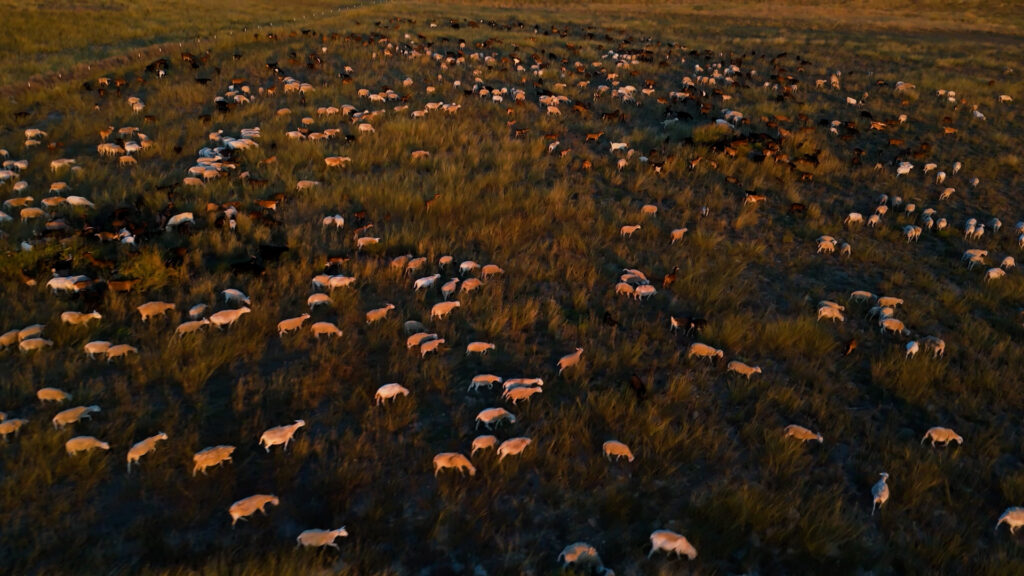
Overgrazing in the Texas Hill Country
Home / Overgrazing in the Texas Hill Country Why Timing, Movement, and Recovery Matter More…

Karst Hydrology and Water Movement in the Texas Hill Country
Home / Karst Hydrology and Water Movement in the Texas Hill Country How Fractured Limestone…