The Texas Hill Country: How We Got Here, and What Comes Next
Foundational guide to land regeneration, water health, and ecological repair in Central Texas
Purpose of this Page
This article is a foundational resource within the Symbiosis Education Hub, designed to support long-term learning around land regeneration, water health, watershed function, and ecological resilience in Central Texas.
Before exploring regenerative grazing, watershed repair, flood mitigation, or climate adaptation strategies, it is essential to understand how the Texas Hill Country reached its current ecological condition. This page establishes that shared baseline.
It is not written to assign blame or promote ideology. It is written to explain systems, historical land use, and long-term cause-and-effect relationships that continue to shape water availability, soil health, and landscape resilience across the region today.
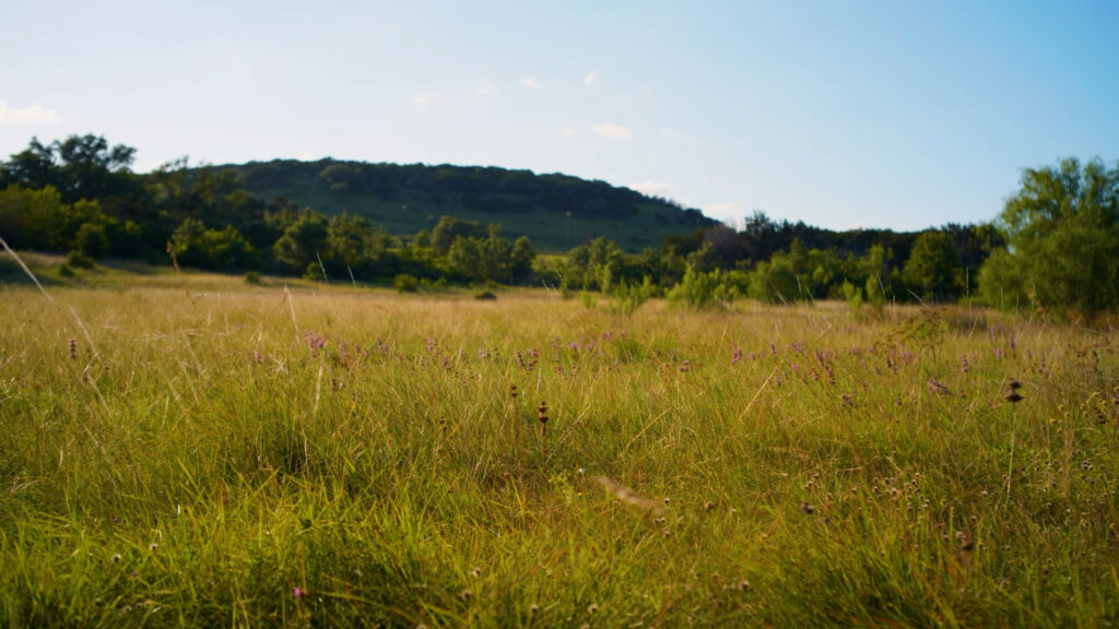
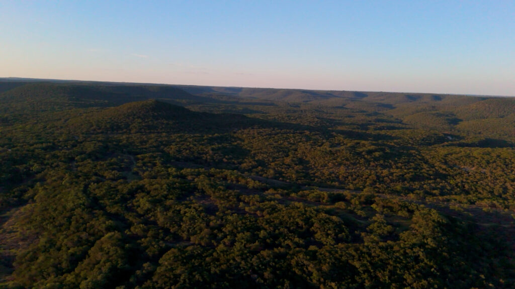
What the Hill Country Was: A Functional Grassland and Savanna System
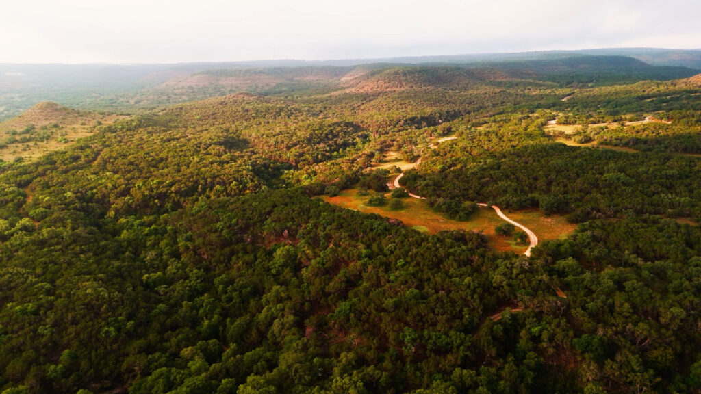
Before large-scale European settlement, the Texas Hill Country functioned as a mosaic of open savannas, grass-dominant uplands, and dense woodlands, shaped by geology, rainfall variability, fire, and grazing pressure over thousands of years.
A key point up front: the exact historical proportion of woodland versus open savanna is still debated. Different observers, methods, and definitions produce different answers, and the debate is active in the Hill Country and across North America.
What most credible reconstructions agree on is the pattern:
- Dense woodlands concentrated in canyons, steep rocky slopes, breaks, and riparian corridors
- Open woodlands and savannas on many uplands, with canopy cover varying widely by site conditions and disturbance history
- Grasslands and shrublands occurring in patches where soils, disturbance, and moisture favored herbaceous dominance
This matters because the Hill Country does not resolve into a single “original state.” It behaves more like a patchwork of states that shift through time.
When critics argue that woodland cover may have been substantial in some areas, sometimes in the tens of percent and potentially approaching open-woodland levels (often discussed in the 30–50% range depending on definitions and scale), that argument still points to the same underlying truth: the region supported both dense woodland and open savanna, often within the same watershed.
This mixed structure is one reason the Hill Country can feel contradictory at first glance. It has always contained both “closed” and “open” landscapes.
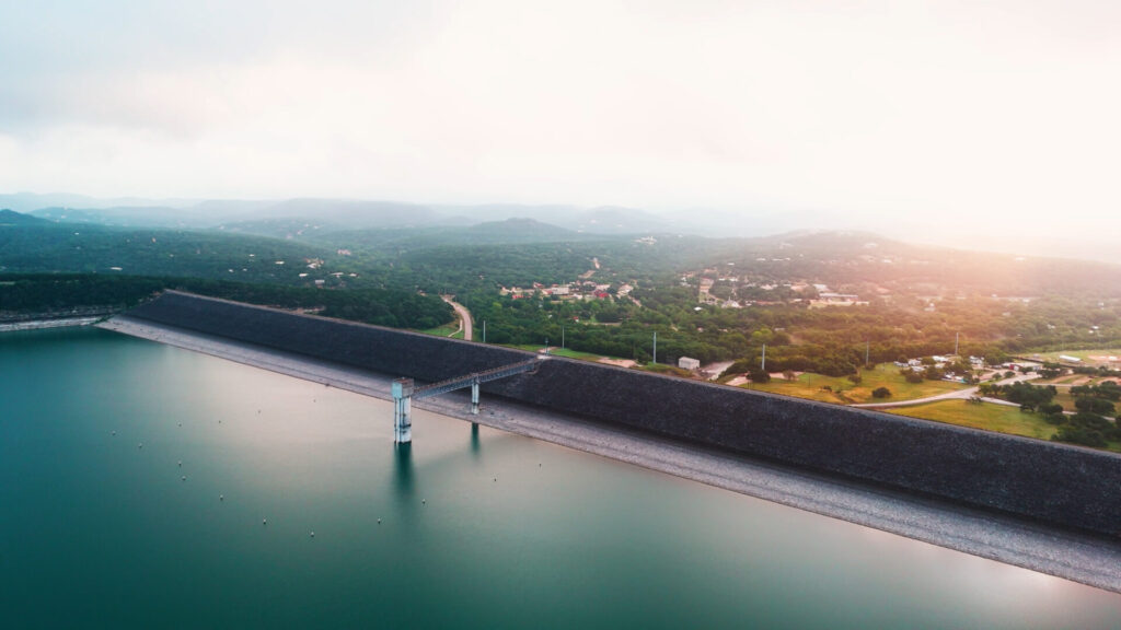
Water Shaped Everything in Central Texas
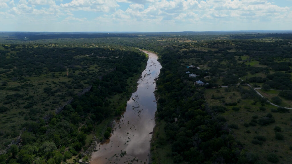
Water is the defining constraint and organizing force in the Texas Hill Country.
The region sits atop fractured limestone and karst features with thin, highly variable soils. Rainfall is episodic. Extreme storm events can drop large volumes of rain quickly, and long dry stretches are common.
That combination creates a simple reality: Central Texas is built on both flood and drought. Floods are not an anomaly. They are part of the baseline.
Over thousands of years, Hill Country ecology and karst topography interacted in a way that could take advantage of wet years.
- Vegetation and soil structure slowed runoff long enough for infiltration where soils allowed it
- Losing streams and recharge features delivered stormwater into karst pathways
- Aquifers stored a portion of that pulse, helping sustain springs and baseflow between rains
In a functioning landscape, water regulation is largely biological. Soil structure, ground cover, organic matter, and plant roots determine how much rainfall infiltrates versus how much becomes rapid runoff.
This is why conversations about water health in the Hill Country are also conversations about soil health and land function.
The First Major Shift: Settlement, Fencing, and Continuous Grazing
The arrival of European settlers introduced land-use patterns fundamentally incompatible with Hill Country ecology.
Major changes included:
- Permanent fencing that eliminated migratory grazing patterns
- Continuous grazing without adequate recovery periods
- Overstocking of cattle, sheep, and goats
- Widespread suppression of fire
- Clearing and plowing of native grasslands for crops or pasture
Native perennial grasses evolved alongside disturbance, but they also evolved alongside rest. Continuous grazing removed leaf area repeatedly, starving plants of energy and preventing root regeneration.
Hooves compacted soils that had evolved to remain porous. Fire-adapted plant communities were left without their primary reset mechanism.
These shifts did not cause immediate collapse, but they pushed the system steadily out of balance.
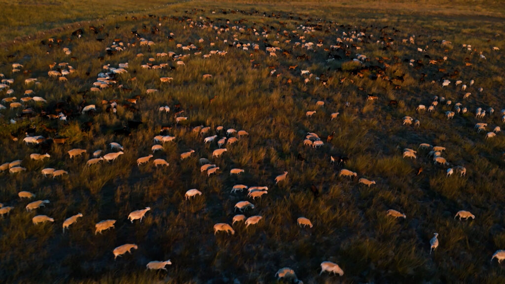
How Grazing Functioned Before Colonization
Prior to European settlement, grazing pressure in the Texas Hill Country operated very differently than it does under modern continuous grazing systems.
Large native herbivores, including bison and other ruminants moving in and out of the region, did not occupy the same ground continuously. Their movement was shaped by seasonal forage availability, water access, predation risk, fire patterns, and human hunting pressure.
This resulted in several important ecological dynamics:
- Grazing occurred in pulses, often intense but short-lived
- Trampled plant material and manure contributed organic matter to the soil surface
- Long recovery periods followed grazing events, allowing grasses to fully regrow and rebuild root reserves
- Grazing pressure shifted across the landscape rather than concentrating on the same areas year after year
Predators and human hunting further influenced herbivore behavior, discouraging prolonged use of any single location. Fire also played a role by periodically resetting forage availability and redistributing grazing pressure.
This combination of movement, disturbance, and recovery allowed grass-dominated systems to persist even under significant grazing pressure.
Modern livestock systems removed many of these regulating forces simultaneously. Fencing constrained movement. Predators were eliminated. Fire was excluded. Grazing became constant rather than episodic.
Understanding this contrast helps explain why simply reducing stocking rates does not always restore function, and why managed grazing systems that reintroduce movement and recovery are often central to land regeneration strategies in the Hill Country.
Soil Loss and the Collapse of Grassland Function
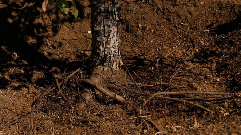
As perennial grasses declined, bare ground expanded. Once protective plant cover was lost, soil degradation accelerated.
Without deep roots and surface armor:
- Rainfall ran off rather than infiltrating
- Topsoil eroded during intense storm events
- Soil organic matter declined
- Microbial and fungal communities collapsed
- Nutrient cycling slowed or stopped
Erosion was often mistaken as a natural feature of the Hill Country, but in reality it was a symptom of ecological dysfunction.
This process occurred incrementally. Pastures degraded one at a time. Watersheds unraveled piece by piece.
Once topsoil is lost, recovery becomes exponentially more difficult.
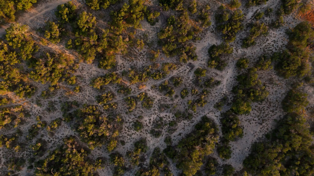
Fire, Juniper, and Vegetation Shifts
Fire is one of the most debated topics in Hill Country ecology.
Across the United States, ecologists continue to debate historic fire frequency, fire seasonality, fire intensity, and how much human ignition influenced fire regimes. The Hill Country is no exception.
What is clear is that fire can be a vital ecological process in this region, especially for maintaining savannas and open woodlands in many settings. Research on the eastern Edwards Plateau, for example, emphasizes fire’s role in shaping the balance between savanna and woodland and in sustaining heterogeneous habitat structure.
Ashe juniper is native, and it matters
A second point that is often misunderstood in public conversations: Ashe juniper is native to the Hill Country and has been present in the region for a very long time.
Ashe juniper is also a cornerstone species. It provides year-round structure, erosion protection on thin soils, and critical habitat in oak-juniper woodlands, including nesting habitat for the endangered golden-cheeked warbler.
The management question is not “juniper good” or “juniper bad.” The practical question is about structure, density, and placement on the landscape.
- Dense stands in the wrong context can reduce herbaceous cover, increase bare ground, and change how water moves across a site
- Well-managed juniper within a healthy mosaic can protect fragile slopes, buffer extremes, and contribute to long-term soil stability
In other words, Ashe juniper is not an outsider. It is part of the system. The goal of regenerative management is to keep juniper in a functional relationship with grasses, oaks, soils, and water.
This section is also a bridge to a dedicated Education Hub article focused entirely on juniper ecology and management in Central Texas.
The Modern Hill Country Landscape
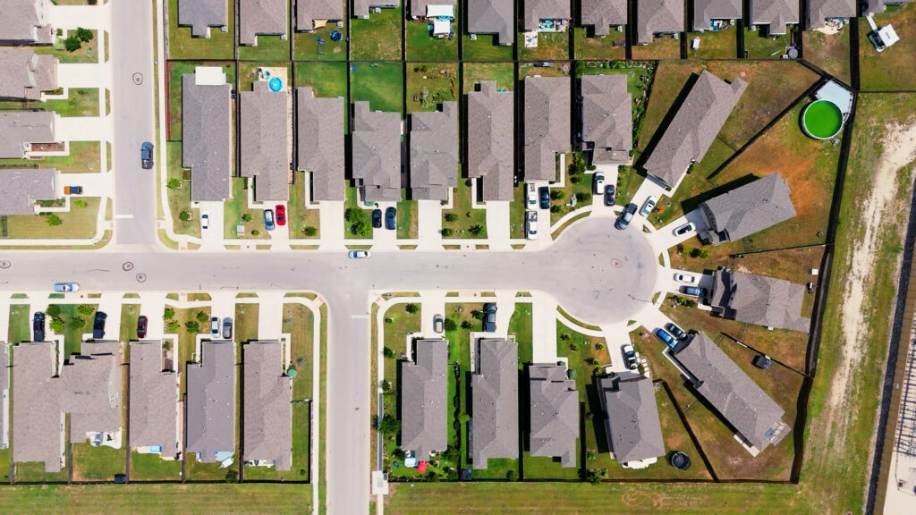
Today’s Texas Hill Country reflects the accumulated effects of altered land management plus rapid human development.
Common characteristics include:
- Flash flooding that arrives fast and concentrates in channels
- Longer dry periods between meaningful rains
- Springs and creeks that are less reliable in many areas
- Shallow, compacted, or eroded soils
- Fragmented habitat and stressed riparian corridors
- Heavy dependence on groundwater pumping and surface water infrastructure
Urban growth intensifies these dynamics.
More roads, rooftops, and compacted ground increase runoff volume and speed. Watersheds become more connected to flood peaks and less connected to infiltration and storage.
The result is a landscape that sheds water quickly when it arrives and struggles to hold water in the soil profile when it is needed.
Why This History Matters for Water, Land, and Communities
The ecological history of the Hill Country directly shapes today’s outcomes.
It influences:
- Flood severity and downstream damage
- Aquifer recharge opportunities during storm events
- Spring reliability and baseflow persistence
- Soil carbon storage and nutrient cycling
- Drought resilience for both rural and urban communities
Many of the region’s most urgent water challenges are connected to land function upstream.
Understanding this history helps landowners, planners, and communities focus on root causes rather than symptoms.
Repair Is Possible, but It Requires Systems Thinking
Land regeneration in the Hill Country focuses on restoring function within modern constraints.
Effective regenerative land management tends to prioritize:
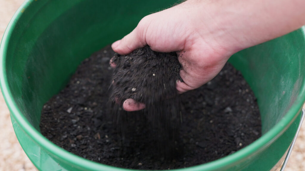
- Rebuilding soil structure, soil biology, and organic matter
- Increasing ground cover to slow and sink rainfall
- Restoring plant diversity and deep-rooted perennials where appropriate
- Managing grazing, browsing, and disturbance with adequate recovery periods
- Using tools like prescribed fire, thinning, and rest to sustain a healthy mosaic of grassland, savanna, and woodland
Regeneration is context-specific and process-driven. What works on a shallow limestone ridge will differ from what works in a canyon, a riparian corridor, or a deep-soil valley.
Working the Land Amid Uncertainty
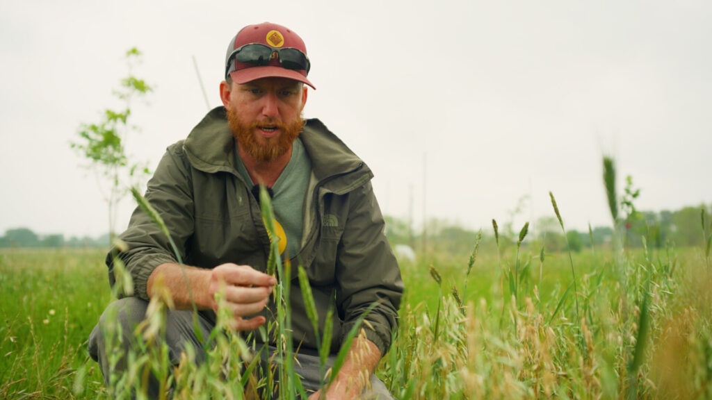
Anyone actively managing land in the Texas Hill Country has to operate with a degree of uncertainty.
Scientific understanding of this region continues to evolve. Historical baselines are incomplete. Conditions vary dramatically from one property to the next, even within the same watershed. As a result, rigid prescriptions rarely perform as well as adaptive approaches.
This is not a hypothetical stance for us. It is how we work.
Over the years, we have installed practices, tested ideas, and applied management approaches that we no longer use in the same way, or at all. Some worked for a period and then stopped making sense as conditions changed. Others taught us what not to repeat elsewhere. In several cases, we changed course entirely after observing unintended outcomes on the ground.
That process has directly shaped how we think about land regeneration in Central Texas.
Successful land managers, in our experience, tend to share a few common traits:
- Willingness to observe closely and respond to feedback from the land
- Openness to adjusting management as conditions change
- Comfort with experimentation at small scales before expanding practices
- Patience to evaluate outcomes over years rather than seasons
In practice, regeneration in the Hill Country is iterative. It involves testing, monitoring, and refining over time.
A major reason we share our work publicly through the Education Hub is to shorten that learning curve. By documenting what has worked, what has not, and how our own thinking has evolved, we hope others can avoid repeating the same mistakes and adapt ideas more effectively to their own land.
This mindset is not uncertainty for its own sake. It reflects the reality of working within one of the most complex ecohydrologic systems in the country.
Scale, Time, and Why Perspective Matters
One of the most common sources of confusion in Hill Country ecology is scale.
Ecological function operates across multiple spatial and temporal scales at once:
- A single pasture may appear degraded while a watershed shows improving function
- A management practice may fail over five years but succeed over thirty
- A plant community that looks uniform from the ground may be highly heterogeneous when viewed across slopes, soils, and aspects
The Hill Country evolved under long time horizons and broad spatial patterns. When discussions collapse those scales, disagreement is almost guaranteed.
This is why there is rarely a single correct answer to questions about vegetation cover, fire frequency, or ideal structure. Context matters.
Indigenous Land Stewardship and the Loss of Baselines
Prior to European colonization, Indigenous peoples actively shaped Hill Country landscapes.
Fire use, hunting pressure, plant harvesting, and movement across watersheds all influenced vegetation patterns and disturbance regimes. These were not untouched systems, but managed ones.
Colonization disrupted both the land and the knowledge systems that shaped it. Written records from the frontier period are sparse, inconsistent, and often filtered through unfamiliar ecological assumptions.
As a result, modern reconstructions rely on incomplete observations, proxy data, and interpretation. This is a major reason why precise pre-colonization baselines remain elusive.
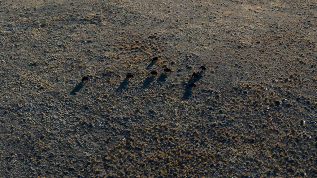
Wildlife Loss and Simplified Ecological Roles
The Hill Country once supported a broader range of wildlife interactions than it does today.
Large herbivores, predators, burrowing animals, and migratory species all influenced grazing pressure, nutrient cycling, seed dispersal, and soil structure.
Modern landscapes operate with far fewer of these functional roles. Livestock grazing, even when well managed, cannot fully replicate historical patterns shaped by diverse animal behavior and movement.
This simplification increases the importance of intentional land management to substitute for lost processes.
Climate Variability and a Changing Climate
Flood and drought have always defined Central Texas.
The Hill Country evolved under highly variable rainfall, with extreme wet years followed by extended dry periods. That variability shaped soil depth, vegetation structure, and aquifer recharge mechanisms.
Modern climate change adds pressure to this system by increasing temperature, altering rainfall intensity, and extending drought duration. These shifts do not replace historic variability. They amplify it.
Land that retains water, soil carbon, and biological function is better positioned to absorb these changes than land already operating at the edge of failure.
Fragmentation and the Limits of Parcel-Scale Management
Another modern constraint is fragmentation.
Smaller parcels, dense fencing, roads, utilities, and urban infrastructure break watersheds into disconnected pieces. This limits the ability to manage fire, grazing, wildlife movement, and water flow at meaningful scales.
Good land management on a single property still matters, but many outcomes depend on coordination across property boundaries.
Why the Science Keeps Changing
Until relatively recently, the Hill Country and Edwards Plateau were not consistently treated as a distinct ecohydrologic system.
Several factors contributed to misunderstanding:
- Observations from neighboring regions were often misapplied to Hill Country landscapes
- Karst hydrology is complex and historically under-studied
- Vegetation mosaics respond differently depending on scale and timeframe
Over the past two decades, site-specific research in Central Texas has expanded significantly. Long-term plots, improved remote sensing, and interdisciplinary collaboration are refining understanding.
Disagreement persists not because the science is weak, but because the system itself is complex.
How This Page Fits Into the Symbiosis Education Hub
This article serves as foundational context for the Education Hub.
Subsequent pages explore:
- Watershed function and flood dynamics in Central Texas
- Regenerative grazing and adaptive land management
- Soil health, carbon cycling, and water infiltration
- Juniper ecology, fire, and vegetation management
- Case studies from working landscapes across the Hill Country
Each topic builds on the historical and ecological framework established here.
Moving Forward
The Texas Hill Country is not irreparably broken, but it is significantly out of balance.
Repair is possible where land function is prioritized, water is allowed to move through biological systems, and management decisions are guided by long-term resilience rather than short-term extraction.
Understanding how we arrived here is the first step toward deciding how Central Texas landscapes will function for the next century.
Sources and Further Reading
The concepts and historical patterns described on this page are supported by research across rangeland ecology, hydrology, soil science, karst hydrogeology, and Central Texas land management.
The Native Plant Society of Texas similarly recognizes Juniperus ashei as a native species, providing ecological and botanical context for its role within Central Texas plant communities
https://www.npsot.org/posts/native-plant/juniperus-ashei/
Fire remains a debated but important ecological process in the region. A recent synthesis by Springer (2024) in Forest Ecology and Management evaluates evidence for fire’s role in maintaining savanna and heterogeneous plant communities across the eastern Edwards Plateau
https://doi.org/10.1016/j.foreco.2024.121208
Texas Parks and Wildlife Department and partner organizations also summarize research supporting the influence of historic fire regimes in maintaining oak woodlands and savannas that have since become fire-suppressed
https://tpwd.texas.gov/landwater/land/habitats/restoration/
Understanding water health, karst systems, and aquifer recharge is critical in the Texas Hill Country. The U.S. Geological Survey provides an overview of karst aquifers, including the Edwards Aquifer, describing the role of fractures, sinkholes, and springs in groundwater movement
https://www.usgs.gov/special-topics/water-science-school/science/karst-aquifers
Open textbook resources on the Edwards Aquifer further emphasize that recharge is driven primarily by precipitation and losing streams rather than slow, uniform infiltration
https://www.edwardsaquifer.net/recharge.html
The Edwards Aquifer Authority provides additional hydrogeologic context, including mapped recharge zones and regional groundwater behavior
https://www.edwardsaquifer.org/science-and-studies/hydrogeology/
Long-term river basin analysis by Wilcox et al. (2010) in Geophysical Research Letters examines hydrologic dynamics of the Edwards Plateau region, highlighting the influence of climate variability, geology, and land cover in karst systems
https://agupubs.onlinelibrary.wiley.com/doi/10.1029/2010GL044331
Finally, ongoing research continues to refine understanding of Central Texas ecohydrology. Texas State University’s Land Change and Ecosystem Science work describes long-term experimental and collaborative studies examining woodland–savanna dynamics in the Edwards Plateau
https://www.txstate.edu/geo/research/land-change.html
Schwinning et al. (2008) note that the ecohydrology of karst landscapes has historically been under-studied compared to other systems, helping explain why regional ecological understanding has evolved more slowly and continues to improve as new data emerges
https://doi.org/10.1890/06-1819.1
Together, these sources provide grounding for discussions of vegetation mosaics, juniper ecology, fire debates, soil function, storm-driven recharge processes, and land regeneration strategies in Central Texas.
Where to Go Next:
This page establishes the ecological context for the Texas Hill Country. From here, the Education Hub explores specific systems, tools, and case studies in more detail. Each topic builds on the history and uncertainty outlined above.
Root Dysfunction in Central Texas Trees: How to Diagnose, Fix, and Restore Tree Health
Home / Root Dysfunction in Central Texas Trees Girdling roots encircling the trunk can restrict…
What is Biochar and Does It Actually Work?
Home / What Is Biochar? Science, History, Pros and Cons, and Its Role in Texas…
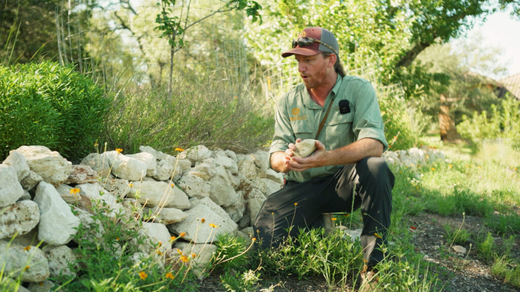
Limestone Terraces in Central Texas for Erosion Control and Soil Building
Home / Limestone Terraces in Central Texas: Erosion Control, Soil Building, and Hill Country Restoration…
Applying Wildfire Science to Land Stewardship in Central Texas
Home / Applying Wildfire Science to Land Stewardship in Central Texas Companion article to Episode…
Overgrazing in the Texas Hill Country
Home / Overgrazing in the Texas Hill Country Why Timing, Movement, and Recovery Matter More…
Karst Hydrology and Water Movement in the Texas Hill Country
Home / Karst Hydrology and Water Movement in the Texas Hill Country How Fractured Limestone…